XXVIII. Lima, Peru


Lima, Peru
Lima, Peru — Devendra Dugad
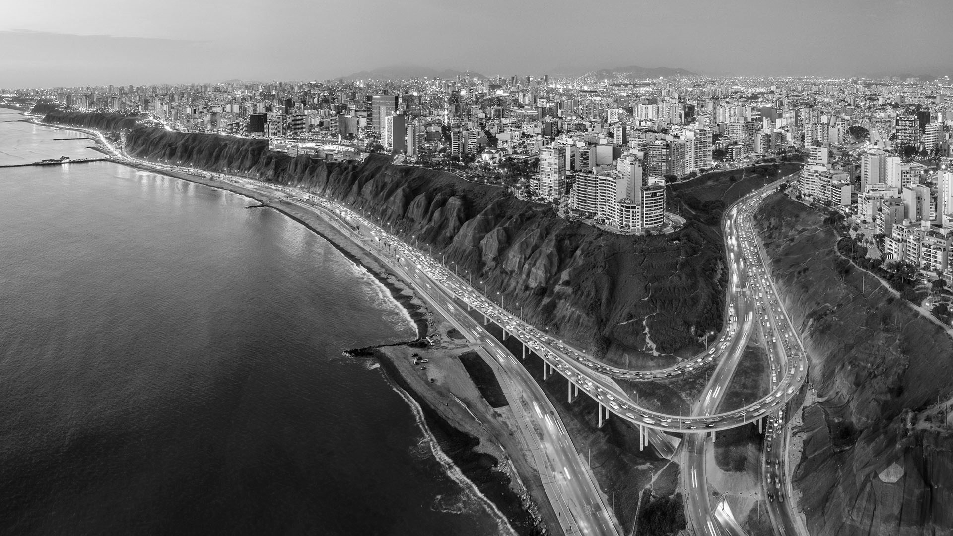
Lima is the capital city and largest city of Peru. It is located in the valleys of the Chillón, Rímac and Lurín Rivers, in the desert zone of the central coastal part of the country. Together with the seaport of Callao, it forms a continuous urban area known as the Lima Metropolitan Area. The city is roughly equivalent to the Province of Lima, which is subdivided into 43 districts.


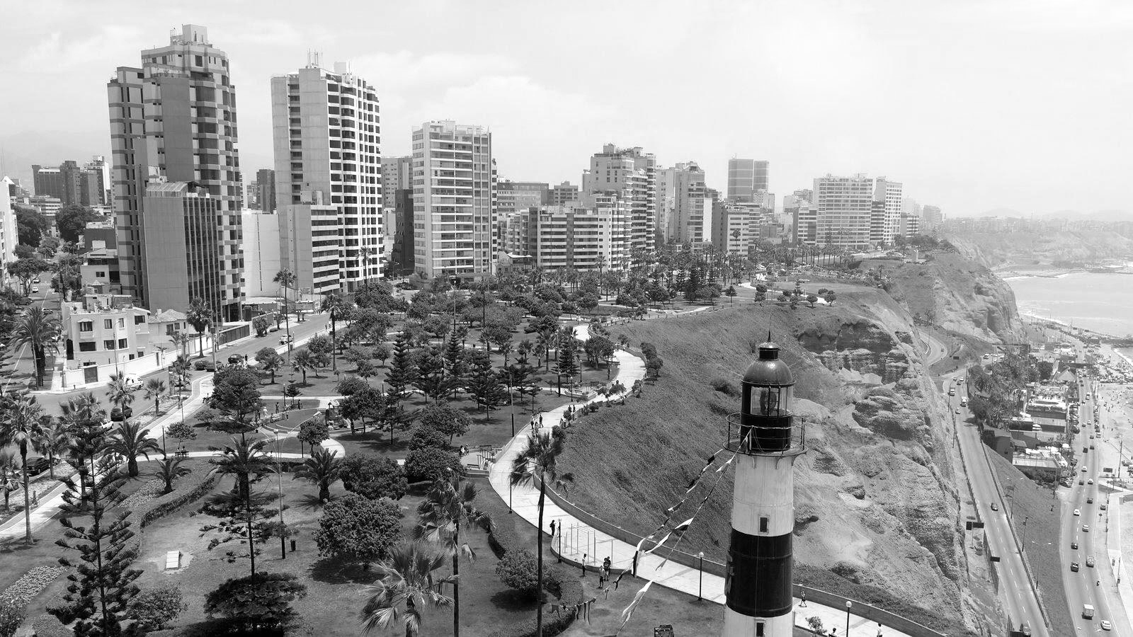
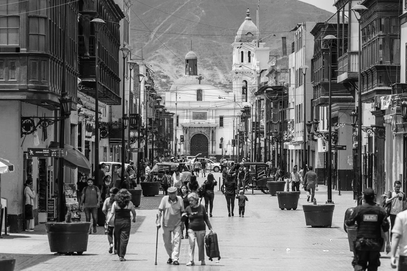
Left: View from Faro de la Marina in Lima // Right: Historic Center of Lima
Population:
Urban: 9,751,717 people
Metro: 10,882,757 people
Area:
Urban: 800 km2
Metro: 2819 km2
Population Density:
Urban Average: 12,000 people/km2
Metro Average: 3,860 people/km2
Politics:
Lima Province is administered by the Metropolitan Municipality of Lima (Municipalidad Metropolitana de Lima), which also administers the city of Lima. The Metropolitan Municipality has authority over the entire city, while each district has its own local government. Unlike the rest of the country, the Metropolitan Municipality, although a provincial municipality, acts as and has functions similar to a regional government, as it does not belong to any of the 25 regions of Peru. Each of the 43 districts has their own distrital municipality that is in charge of its own district and coordinate with the metropolitan municipality.

Top-left: New development in Lima // Top-right: Historic Center of Lima
Bottom-left: Miraflores and Lima's Malecon // Bottom-right: Barrios on Hill, Rimac District
Lima was founded in 1535 and comprised only 100 city blocks around a plaza, but by 1925 the population was over a quarter of a million people. The population then doubled to over half a million people by 1940. Lima’s growth became even more rapid after WWII when poor Andeans moved to Lima hoping to find a better life. After that, migration exploded because of industrialization and modernization. People were not only migrating from the Andes Mountains but were also finding their way from foreign countries as well.
Lima is the industrial and financial center of Peru. It contains more than two thirds of its industrial production, most of its tertiary sector, and is home to many national companies. Most foreign companies operating in the country are located in Lima. The metropolitan area has approximately 7,000 factories which benefit from the city’s developed infrastructure.
It benefits from it’s position as the capital, largest city, and commercial and industrial center of Peru, as well as from the steady flow of tourists visiting World Heritage Sites at the city’s center, and inland at Cusco and the sacred Inca city of Machu Picchu. The Historic Centre of Lima was declared a UNESCO World Heritage Site in 1988 due to its large number of historical buildings dating from the Spanish colonial era.
Sources:
https://worldpopulationreview.com/world-cities/lima-population
https://www.britannica.com/place/Lima
https://www.newworldencyclopedia.org/entry/Lima
https://www.airpano.com/gallery.php?gallery=235
https://windows10spotlight.com/images/f22db9f7dffc38a41cb61f9d68f90acb
https://roadsandkingdoms.com/2019/things-to-know-before-you-go-to-lima/

Lima, Peru // High Density Buildig Typologies
![]()
Lima, Peru // Means of transportation
![]()
Lima, Peru // Traffic hubs and nodes
![]()
Lima, Peru // Urban Void Spaces

Lima, Peru // Means of transportation

Lima, Peru // Traffic hubs and nodes

Lima, Peru // Urban Void Spaces
Lima, Peru - Urb Santa Cruz, Miraflores
Area: 11.1 km2
Population: 60,753 people
Population Density: 5,473 people/km2


Lima, Peru - Cercado de Lima
Area: 21.98 km2
Population: 268,352 people
Population Density: 15,763 people/km2


Lima, Peru - San Miguel
Area: 10.72 km2
Population: 1555,384 people
Population Density: 14,000 people/km2


URBAN HYBRID | Lima, Peru
‘Urban Hybrid’ is an alternative development model for the neighborhoods underdoing redevelopment in Lima. It learns from the historic and contemporary neighborhoods to create a model of living based on the creation of commons. The proposal reconfigures a recent development in San Miguel where a series of high rise buildings have been developed as a part of gated community and have created a massive void within the city.
The design looks to create porous blocks with common courtyards which accomodate social infrastructure and recreational spaces of the city like schools, markets, urban forest, kids play area, basketball and tennis courts, and indoor recreational area which is accessible to the larger community. The land parcels are divided into smaller units which are sold to generate revenue for the city.
Also an incentive based developent model is established to create a more equitable, lively and just neighborhood. Incentives promote retail on the first level, less ground coverage, mixed-use buildings, double height terraces, courtyards, publically accessible first level, and green terraces. These wide range of incentives give developers enough to play with and create a fine-grained fabric of the neighborhood inspired from historic areas of Lima.

Left: Existing Condition // Center: Division of site into smaller land parcels with porous courtyards //
Right: Social Infrastructure in the courtyard
Right: Social Infrastructure in the courtyard

FAR Incentives for private developers
![]()
Design Axonometric
![]()
Site Sections
![]()
Statistics and Site Plan

Design Axonometric

Site Sections

Statistics and Site Plan
Sources:
Googles Maps
Cadmapper
https://www.citypopulation.de/en/peru/lima
https://www-amigosdevilla-it.translate.goog/historia/antecedentes03.html?_x_tr_sch=http&_x_tr_sl=es&_x_tr_tl=en&_x_tr_hl=en&_x_tr_pto=sc
https://www.multiplecities.org/home/2017/12/28/exploring-brt-in-lima-peru
https://www.limaeasy.com/peru-guide/safety-security-travel-advice-series-peru/safety-advice-for-taking-a-taxi-in-lima-and-other-peruvian-cities
http://limacitykings.com/punta-callao/